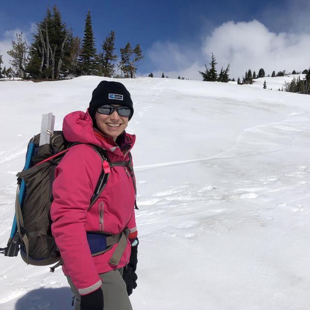
LOL. That is the only way to respond to yesterday's Hood climb. You go in with certain expectations of how the day is going to go, and then you get a spicy day of climbing with challenges you did not foresee.
Despite a small reputation as a bit crazy, I feel like I am a careful evaluator of risk. I do my research, I get the right gear, I learn my skills, and I regularly contemplate the reward vs risk equation with a certain amount of emotional detachment.
So. Before we headed up to Mt. Hood yesterday, we laid out all of our gear and made a few decisions. We packed our backpacks and put a few additional pieces of technical climbing gear in a separate bag in case we wanted it after seeing the conditions firsthand at Timberline. We even brought sleeping bags in case the weather looked completely rubbish and sleeping in the car prior to starting a day of resort skiing seemed the better option. We also looked at the NWAC weather station's most current readings and the NOAA forecast. In short, we felt reasonably prepared.
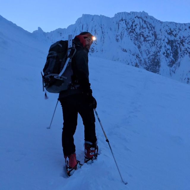
As we were going through Welches—right at the base of Mt Hood—we got a few sprinkles of rain on the windshield. Fine, fine, we expected a bit of precipitation. As we gained elevation, large patches of fog appeared across the road. Thick, soupy fog. Then, as we turned to head up to Timberline Lodge, the fog lessened but the wind picked up with moderate sleet and snow hitting the windshield. I remember turning to Tina and saying, "I dunno, Tina..."
At Timberline though, the wind was blowing but the precipitation seemed less and you could see stars every so often. That is frequently the case on mountains—you go up or down a thousand feet and the weather is significantly different.
With the wind and weather, we decided to add the technical climbing gear to our packs as it seemed possible that higher up we might need it. Harnesses, rope, carabiners, and bits of cord all went into the packs. Better to have them and not need them, etc. Also, with the additional weight, more training: Yay!!
The wind kept coming during our ascent, probably in the 20-35mph range, with a few solid gusts that caused me to stumble a bit even when standing still. The wind was also picking up a fair amount of snow on its trip across the mountain face, stinging our eyes and face nearly continuously. Any skin exposed, say your fingers when changing into heavier gloves or when adjusting a small strap, took many minutes to rewarm.
We noticed in the climbing register outside the Wy'East Day Lodge that there were two small groups ahead of us. We met a 3-person team slightly above Palmer, maybe around 8800 feet, shortly after they had decided to turn around. The wind had sucked their energy dry and they were not optimistic about the summit. With the faint hope the wind would reduce (the forecast suggested it would in the early hours), we soldiered on.
It bears noting that a large group had gotten ahead of us by traveling via SnowCat to the top of Palmer and starting their climb there, nearly halving the vertical feet required to reach the summit. Just as we were departing the ski area boundary at the top of Palmer after a break, another SnowCat dropped off a second load of climbers. The mountain definitely had a couple dozen people on it.
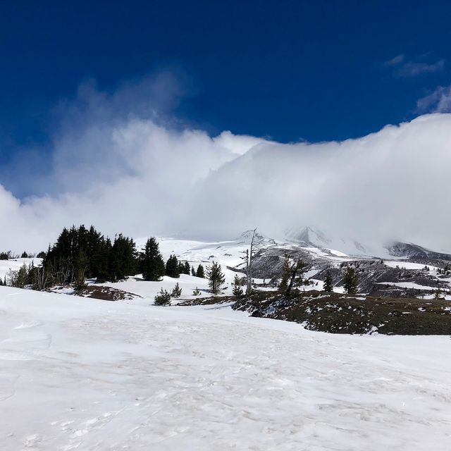
As we approached Crater Rock, the wind disappeared, thanks to the protection provided by the mountain's features. Sadly, it returned in all its chilling glory shortly after we reached Devil's Kitchen.
And Devil's Kitchen was a sight to see. I have 14 attempts and 10 summits on Hood, and I have never seen Devil's Kitchen quite like this. It was just so flat and open around the fumarole. So much in fact that the slope up to the Hogsback had a large crack in it where the warmth of the surrounding rocks had melted out the snow underneath. There was a snow bridge crossing it, but given the crack and the exposure above Devil's Kitchen, it did not seem the safest route up. With the cold air and the fact that the sun was not out, it seemed the safer course was to circle counter-clockwise around Devil's Kitchen, staying comfortably away from the Steel Cliffs, and head up the Hogsback from the other side.
The Hogsback was its normal self. Like Devil's Kitchen, the Hot Rocks to the west were significantly exposed with a number of cracks separating its top part from the upper snow. Not uncommon, but May 11th felt a bit early to see that much rock exposed. Above us, the Bergschrund was open, but there was plenty of room to navigate right, and so we headed up towards the Pearly Gates.
This is where we caught up to the large group that had passed us in the SnowCat while we were skinning up Palmer. Three rope teams...and they were moving slowly. The snow up to the point of the Bergschrund was solid. We had to make steps most of our trip thanks to the scouring effect of the wind, but the snow always felt stable and reliable.
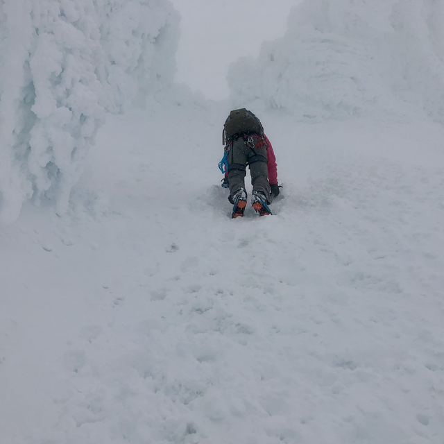
Above the Bergschrund though, the snow got a little shit. You had a hard bottom layer, a variable layer of unseen rime ice on top of it, and then all of it covered with a few inches of fresh, loose snow. Sometimes you could force your ice axe's shaft in easily, sometimes it took a few solid tries, and every so often it would hardly penetrate the slope at all. And your crampon points might stick perfectly or simply scrape off the snow and rime. Testing your placements prior to moving was important.
The small group immediately above us was definitely having a hard time. It was a leader doing a belay for two tired beginner climbers. The beginners were leaning into the slope and even using their hands and knees to ascent. Being right below them was a bit uncomfortable. They tore up the snow and standing on the slope waiting for them to progress upwards was tiring. We were patient but we very nearly tried to pass them to the right, but felt it was only going to be an extra 10-15 minutes of waiting and giving them breathing space was important.
While they rested at their leader's belay station, we climbed around them and were just below the next group that was preparing to start the left, alternate to the Pearly Gates. Another group was already 30 feet to the right, at what I consider the Pearly Gates proper, and they were not looking speedy. We briefly chatted with the guide nearest to us and asked if it would be all right if we climbed past his group real quick. He said yes, and may have grumbled that we be careful of their rope.
Moving around his group to reach a slight snow ledge at the entrance of the chute was a bit arduous. Steeper slope and less secure crampon placement, but only 15 feet or so of vertical travel, thankfully. With a bit of effort, we got it done and moved into the chute proper. The chute was solid. Using our picks we ascended in no time, as if it was the simplest thing in the world. We took a few moments to catch our breath and proceeded onto the summit.
While we were negotiating the teams, a bit of weather had rolled in and by the time we reached the summit the dreamed of views were no where to be found. We chatted with two other climbers, had a water/snack break, took the usual summit photos, and started looking for our way down.
The groups that we had passed were still not fully up the Pearly Gates, so we went over and looked for the Old Chute. At this point, the weather was switching from simple cloudiness to a difficult to navigate diffusion of white. The snow and sky started blurring together and the usual landmarks were fading from view. Even our sense of direction became a bit muddled. One of the climbers on the summit said he had come up the Old Chute, but we could find absolutely no tracks towards it. It was befuddling.
In retrospect, this climber mentioned he had never summited Mt. Hood before, and I am reasonably sure he was with another climber who had skipped around the groups and summited via the Pearly Gates. Maybe bad information.
In any case, with the conditions and sketchiness of the snow, hunting for the Old Chute and crossing the knife's edge leading to it seemed like a poor choice. Instead, we saw another group beginning to climb out of the 1 o'clock couloir. Peeking in, we decided it was a far better option than trying to navigate around the other groups again and approaching the Bergschrund from above with the lousy snow.
So, the 1 o'clock couloir starts comfortably wide at the top, narrows to about 6 feet, and then widens again to join up with the Old Chute descent. The first few steps in were fine, but as it steepened it became clear the snow conditions were going to require the use of both our ice axes. We tried to stay climber's left of the group ascending to mitigate falling snow/ice issues, but the rime ice on the side was breaking off so we were not overly successful and simply moved as quickly as we could.
It was a slow descent through the couloir using two ice axes and a combination of duck step and front pointing technique—especially as it was Tina's first time with that technique and descending while thwacking narrow pieces of metal into a steep slope is not the most intuitive form of travel. It worked though and at no point did either of us feel unstable or unsafe climbing down. However, I did find the repeated kicks into the slope to find purchase for our crampons a wee exhausting.
By the time the route joined up with the main slope below the Old Chute, it had begun to snow and the whiteout was in complete effect. You literally could see nothing 10 meters away. No sign of the Hot Rocks, the Hogsback, or the Bergschrund. Your eyes could hardly distinguish the snow below your feet, which made each step tricky as you were not exactly sure if the surface was soft, hard, near, or far.
Unnerving is the not the right word. We never lost our cool or our sense that we would make it out safely, but I looked up at Tina as we navigated our way down and calmly said, "So, I'm a little bit stressed..."
To be continued...
Sorry about that. We had to run off to Smith Rock for a day. More coming tomorrow.
The continuation...
The progress was slow and we squinted frequently trying to find a recognizable landmark in the enveloping whiteness. More than a few times we wondered if we really saw something or if it was just our eyes playing tricks on us. We had the compass and the GPS out so we knew approximately where we were headed, but the spatial disorientation was real.
We moved a few steps, looked around, moved a few more, looked around, and then heard voices. They were in the direction we were headed, so that felt promising but a hail to them went unanswered. So, we kept on moving and finally caught a glimpse of the Bergschrund. The main opening was off to our left but there was a small crack open to our right as well.
To make a long story short, we crossed the Bergschrund via a snow bridge above the Hot Rocks. Shortly after crossing it, we caught a glimpse of a couple figures below us. They also were disoriented and shouted that they had just descended from the Pearly Gates. With the Bergschrund visible and knowing the approximate location of the Pearly Gates, we descended an unrecognizable upper Hogsback to the main ridge, where we found the poles we had left there over an hour beforehand.
From the main ridge of the Hogsback, you could see neither Devil's Kitchen nor the Hot Rocks. Which even writing now, three days later, seems really weird. They are large, significant landmarks and within a stone's throw of the Hogsback. Not a bit of them could be seen through surrounding cloud and falling snow.
After a break to replenish our energy stores, we headed east off the Hogsback in the direction of Devil's Kitchen. Being leeward, there were still tracks from our climb up, which made the first few minutes of travel easy. By the time the slope started leveling out though, the tracks were gone. Still, we remembered our route and could even recognize a few landmarks carved into the snow. All we saw of the Devil's Kitchen was an occasional brown coloured smudge to our right.
On the other side of Devil's Kitchen is the Triangle Moraine and the beginning of the descent to Timberline Lodge. Nearly every guidebook for Mt. Hood mentions that in bad conditions it is incredibly easy to make a mistake here and end up in either Wind River Canyon or Zigzag Canyon. That is because the fall line naturally funnels people towards one or the other. Both of these canyons have steep drop-offs, so a mistake can be deadly.
The best thing you can do is navigate around Crater Rock and then head magnetic south, which will deliver you down to Timberline Lodge. And that is exactly what we did. Near the tip of Crater Rock, I pulled out the compass and found south. The GPS confirmed our path and off we went with another climber joining us for safety.
The next 1,500' of descent was similar whiteout conditions with us traveling 15 minutes, consulting our instruments, adjusting course, and continuing on. Finally, we started breaking through the cloud surrounding the summit and caught our first glimpse of the Palmer ski lift. A rousing cheer was made by all.
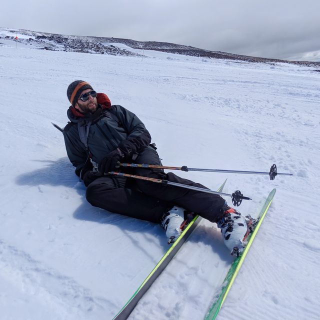
In no time, we reached our skis above the Palmer ski area and were ready to ski down to the lodge. The ski was exhausting on tired legs, but according to Strava we reached the parking lot in only 12 minutes. Not a bad way to lose a couple thousand feet of elevation.
•••
Take away lessons? I think the big one is that Mt. Hood is most assuredly a mountain to be taken seriously, no matter if you heard that someone once climbed it in high heels. Its weather can be unpredictable and unreliable, and you cannot trust the weather report when it says fair conditions are on the horizon. Also, know your route, bring a compass, have a map, and trust them. We are creatures with a keen sense of sight, and it is quite unnerving to lose that sense so completely in a dangerous area and needing to rely on scrawls on paper and strange unseen forces.
Otherwise, I am reasonably pleased. We handled the terrain well, kept our calm, made good decisions, and further solidified our existing snow/ice travel skills. Got a few new learning experiences and a story to tell. Hard to argue with that.