As I edit this, I want to be crystal clear: I genuinely appreciate the immense effort the State of Washington has invested in its biking infrastructure. Some of it is truly magnificent and noteworthy for America. However, there are significant problems. Many Americans own large, noisy, and smelly vehicles that they love to drive at high speeds, and unfortunately, many drivers show no regard for cyclists. Certain sections of my circumnavigation route were unequivocally hazardous for cyclists, including parts of the Olympic Discovery Trail. As much as I can appreciate what was good, it would be a disservice not to mention that which is bad and requires improvement.
––
There are really only two ways I enjoy adventuring: 1) fully invested in a journey for weeks or months (PCT, Tour Divide); 2) settling into a basecamp and just exploring out from that point (Mallorca, Maine, Boulder). When I pointed myself towards Ocean Shores back in March, I knew there were plenty of areas in the Olympics I had not seen, despite having lived in the Pacific Northwest for decades.
The Olympic Discovery Trail has been on my radar for over a decade. During COVID, it became even more intriguing because some intrepid cyclists used it as part of their circumnavigation of the Olympic Peninsula during the Festive 500. So, during my first forays into biking over here, I started poking at the nearest portions of that circumnavigation route and reading up on the Discovery Trail.
My original intent was a 4–5 day bikepacking trip, but the stubborn snow up high scrapped that idea for at least another 2–3 weeks. So, naturally, I focused on making it a faster, more pavement-focused route. While I still have the fitness to do the entire 340 miles in one go — with a silly amount of suffering — I decided to make it a (somehow) more reasonable two-day blitz of approximately 170 miles each day with an overnight in Sequim, WA.
Unfortunately, my weather window was not exactly ideal. The Olympic Peninsula, an idyllic land of rainforests, is fairly well known for its precipitation. Still, I started on cool, grey Tuesday morning where Donkey Creek Rd meets Highway 101 and headed clockwise. The first part is, frankly, kind of tedious. The beginning of the Olympic Discovery Trail is about 90 miles of pavement away, primarily along Highway 101. The shoulder was mostly good — if quite filthy (one of many reasons I chose my gravel bike) — and the traffic relatively light. However, you are still on a road where a logging truck traveling 65 mph could pass you with 2-3 ft of space. Not exactly a zen ride. The 30 miles on the Hoh Mainline was super quiet though, glad my route went that way.
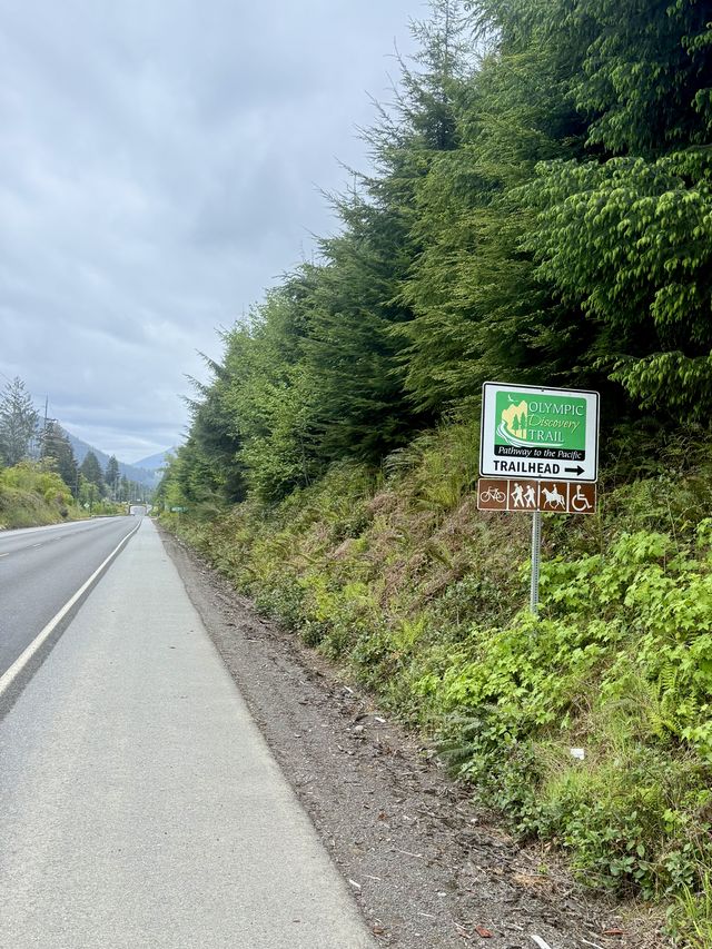
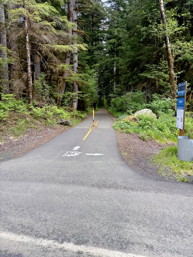
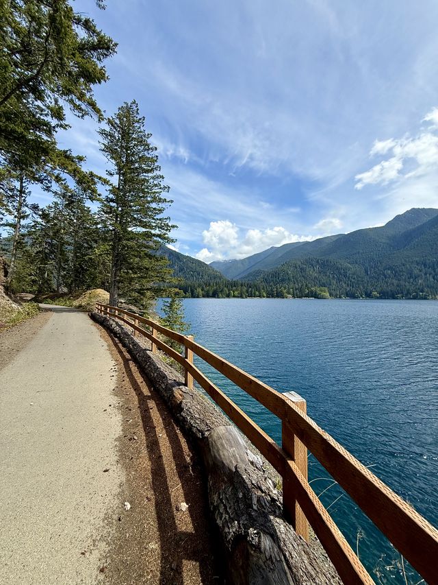
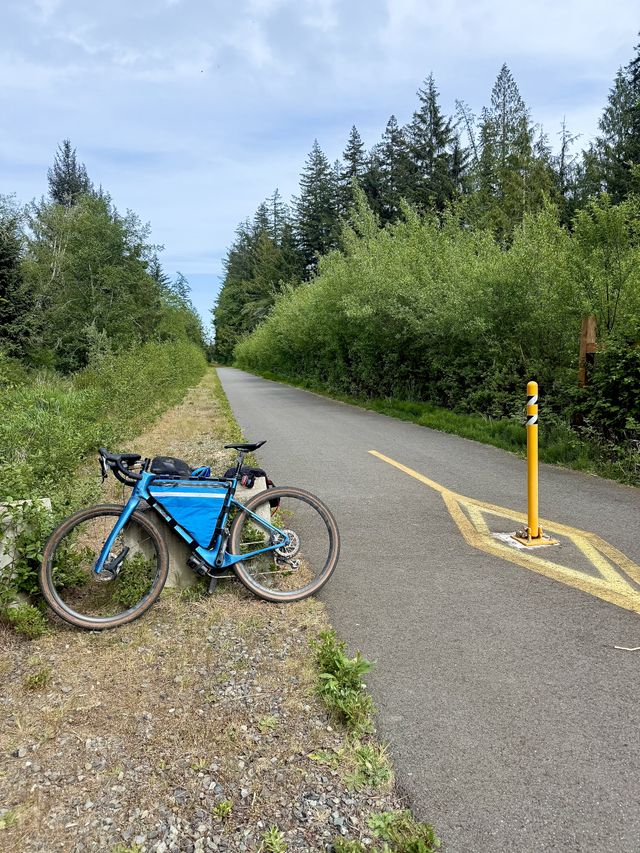
Onto the really good stuff. When you turn off Highway 101 near Sappho, Washington, things change dramatically for the better. You are first on a quiet road and then you see the entrance to the vehicle-less paved path. IT’S ALL YOURS. No cars, no trucks, and perfectly quiet and safe. Around this point, the sun finally came out too. I loved this section of the route. Around 115 miles in, I saw Lake Crescent on my right through the trees. The trail here is older and the roots pushing up the pavement require you not to get complacent, but it’s a nice ride through the forest. I started seeing more and more trail users here. The trail finally descends to the waterfront and the views of the path are simply delightful. The two short tunnels are a hoot. My only usage of my bright front light was for about 20 seconds here.
Past Lake Crescent, the route is decent — a mix of vehicle-less trail, quiet roads, and busy highways. The busy highways are not where I would take an inexperienced rider. The road shoulders were narrow and dirty at points, and I do believe many American drivers have a troubling inability to find their brake pedals. As a highly experienced cyclist, I did not feel safe on those sections.
The journey into Port Angeles is a bit of a cruise and mostly flat or downhill. Alas, the route, on its way to a less developed part of the waterfront, requires you to travel on narrow sidewalks along a busy road. It was a stark contrast to what came before. It really makes you want to beg on your hands and knees for better bike infrastructure in cities. It’s appalling how cyclists feel even less than an afterthought for city planners and more of a “they’ll get what they get and like it!”
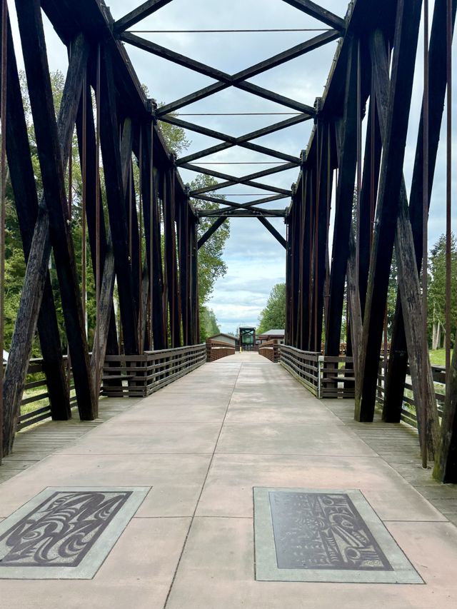
Anyhow, you get through the disappointing section and then you are on another quiet section of bike path right along the sea. Perfection. Loved this section — wish I had taken a video with the crashing surf. As you leave Port Angeles, you get on an older section of trail connecting to Sequim. It’s still good, but the pavement is rougher and the grades less friendly. I distinctly remember zooming down a steep path to a wooden bridge and immediately hitting a 20%+ grade to push up. A bit rough on the legs after 150 miles of riding.
The way into Sequim was fairly pleasant. My legs were quite tired but still working well, the wind was mild, and I knew super nice accommodations were less than 30 minutes away. Definitely felt the weather shifting though. Darker clouds, cooler temps, and a sense of foreboding. Oh, sorry, that’s just me naturally.
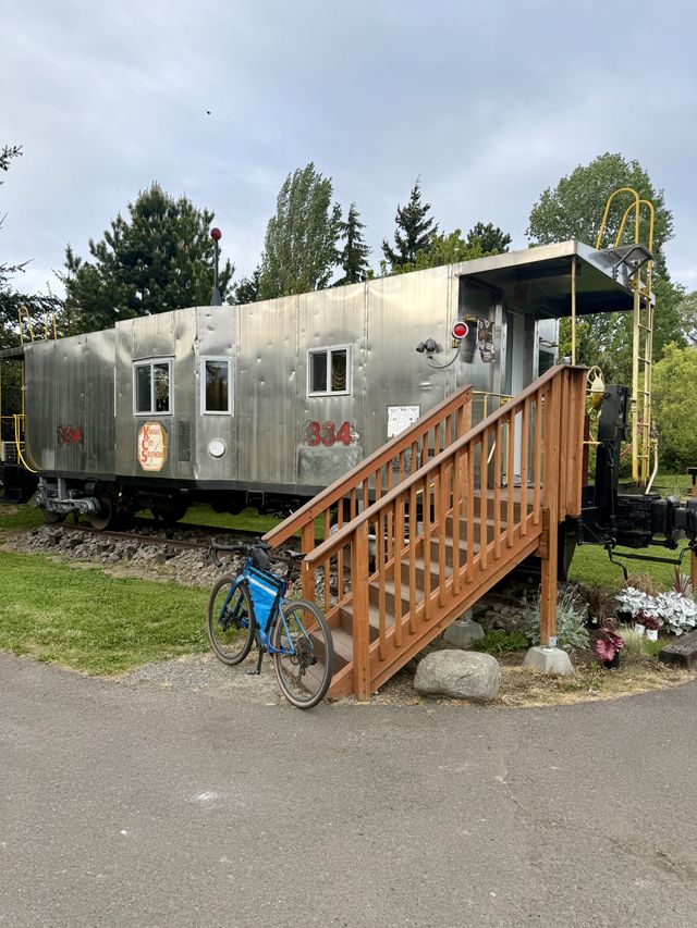
While investigating this circumnavigation, I knew Sequim was roughly the halfway point and thus a good place to rest for the night. Good hotels were found at a reasonable price, but then I stumbled across the Olympic Railway Inn. A literal block off the bike trail, old railway cars on the outside and upgraded interiors (hot shower! tub! Wi-Fi!), and only a few minutes’ ride to groceries at QFC. Sold! And each railway car is themed, so if you reserve early you can have a bit of fun with your selection. Since I reserved at the last minute, I had to “settle” for Casino Royale. It was a hoot. So worth it.
At the core of long-distance biking is the fact that it is as much an eating contest as it is a ride. Strava estimated I burned 7400 calories on this first day — and the second day had even more miles and climbing. Despite carbs in my hydration pack and a steady stream of snacks, I did not come close to breaking even. Dinner was just one long string of snacks while I cleaned gear, cleaned myself, and vegged out with some Star Trek TOS on the TV. As I drifted off to sleep at the early hour of 9 p.m., I had a small pile of food and drink right next to the bed for nighttime snacking.
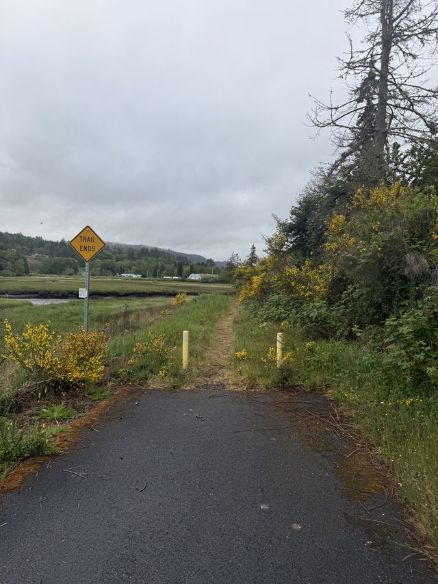
Day 2. Knowing it was going to be a long day and with iffy weather in the forecast, I woke up early, fueled up, cleaned my chain, and rolled out just after first light. The Discovery Trail does not fully connect up to Port Townsend and ends just at the junction of Highway 101 and State Route 20. Along the way, you go through 7Cedars, home of the Jamestown S'Klallam Tribe. Everything was closed at that early hour, but it looked like a fascinating place to stop, especially the totems, which I’d love to come back and see. You could also stay at the resort and/or use the 7Cedars Market & Deli as a stellar resupply spot.
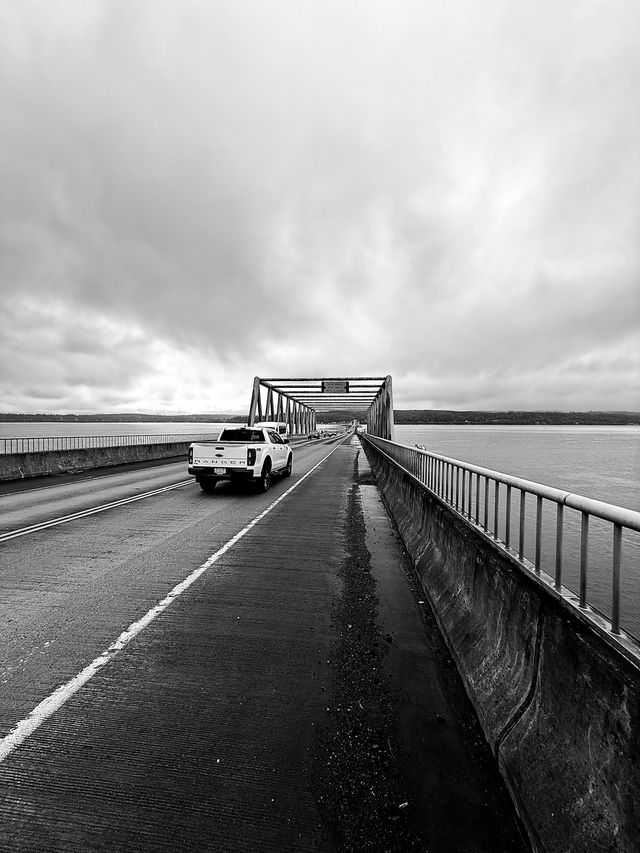
The route ends somewhat abruptly at the base of Discovery Bay, and you are forced onto Highway 101. My plan was to avoid the 40 twisty miles along Highway 101 down to Skokomish by heading to the Hood Canal Floating Bridge and using back roads. With a foolish blind obedience to technology, I merely put a couple of points into RideWithGPS and used the route it provided. This was a horrible mistake.
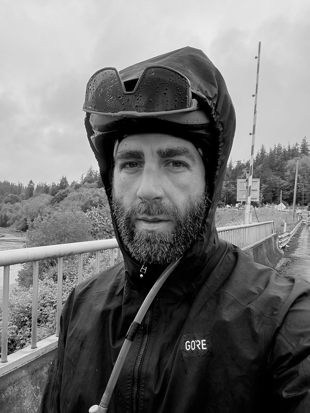
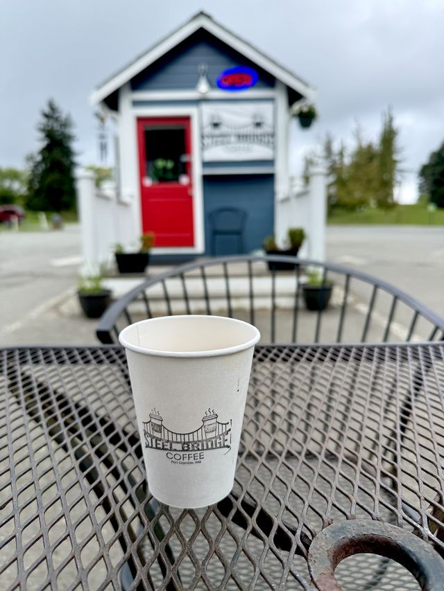
First, I had 2 miles on State Route 20 — a two-lane road with no shoulder, a deep drainage ditch, and speeding vehicles. No cyclist should ever take this route. It was harrowing. Getting off it was a relief, and the rolling back roads were far better, but then the forecasted weather showed up, and my rain gear came out. The rain finally abated near the Hood Canal Bridge, and in need of a morale boost, I headed to Port Gamble’s Steel Bridge Coffee (@steelbridgecoffeestand) for a pick-me-up.
What a brilliant decision that was. There is something about being wet, chilled, tired, and in regular fear of being squashed like an insect that wears you down. That espresso and cookie gave me a much-needed mental boost. Bonus: they had a lovely bathroom where I could wash the mud spray off my face and feel slightly more human again. Only three hours into the day, and I ended up taking a 30-minute break there. I seriously considered hopping onto the bus. The worst was yet to come.
I am not sure what algorithms RideWithGPS used to plot my course, but it took me on multiple super sketchy and steep car routes. On the computer screen at home, it looked promising — not on highways, not on state routes, and past multiple resupply options. But oh boy, those idiotic giant pickups with the large mirrors were gunning past me on uphills, belching diesel fumes while I am struggling to climb at 5 mph. Frequently the shoulders were nonexistent or were gravel-rich mud. And then the drizzle reappeared before turning back to rain again. Jane, stop this crazy thing!
Reviewing my route here at home now, I think Strava’s route suggestion might have offered a far safer and more enjoyable path —possibly on heavier trafficked roads with far wider and safer shoulders. One does wonder if 45 miles on Highway 101 might have been preferable just to get it over with too. Who knows. I am not intending to explore this route again anytime soon; did that, done that, onto the next thing.
Seventy-ish miles later, with a small diversion from my original route and after battling a headwind for hours, I finally made it to the quiet backroads of the southern Olympics. While it was a long struggle to get there, I do really enjoy this part of the Olympics. My body was fairly knackered, and the sky had greyed up, but the roads were quiet and in excellent condition. Just you and your bike cruising through the miles.
The only notable bit: the gravel connector to Wynoochee Road has a short section with a 20% grade. At 135 miles into the day, I hopped off and walked five minutes instead of straining up it. It also gave me a chance to get off the bike and use different muscles, which was pleasant.
The paved section up to Wynoochee Lake, which has been on my ride list for a few weeks, was windy but smooth. I am definitely coming back to do it on my road bike at some point. And then once you reach the turn-off for the lake, you have a bit of rough gravel, smooth gravel, rough road, and then a fairly chill cruise down Donkey Creek Road. And fin.
Closing thoughts:
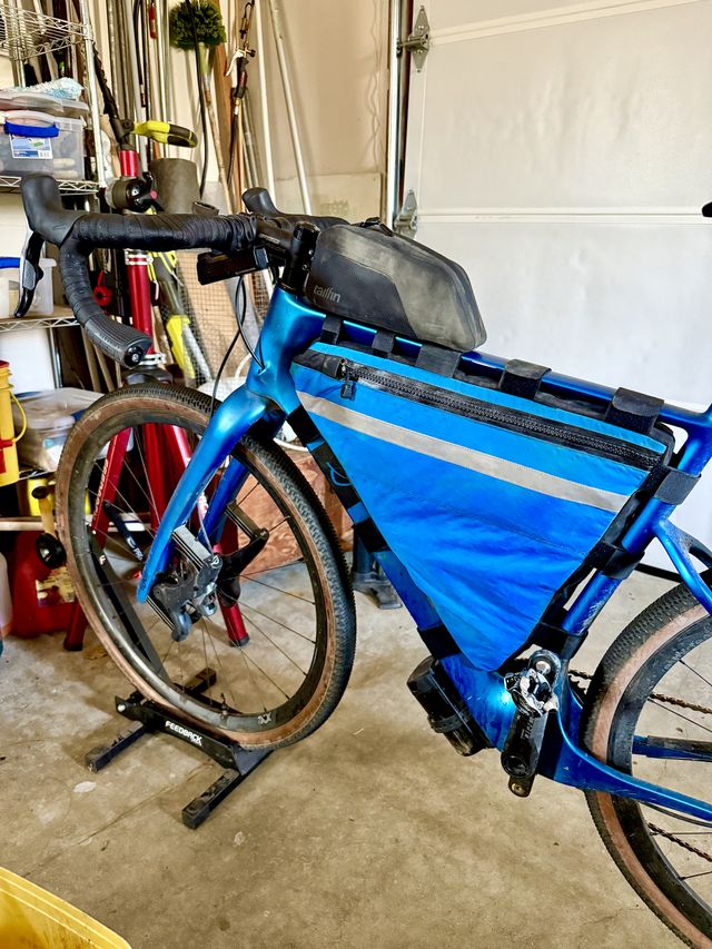
Over these two days, Strava calculated my calories burned at 15,000. I took drink mix in my backpack and lots of snacks in a top tube bag, with a mid-day resupply around 80 miles. There are plenty of gas stations and tiny stores along the route for quick breaks (Pure Leaf Sweet Tea and a bag of chips, ftw). While I had carrying capacity for 3 liters of liquid, it was so cool and damp that I only used the 2L in my hydration pack plus an occasional store-bought drink in my frame bag. I always forget how much food my body craves on rides like this, and I really enjoyed buying a family-sized bag of Peanut M&Ms and just pouring it straight into my top tube bag.
I basically never stopped biking, so I did not explore the areas I biked through. There are more than a few museums and scenic spots worth a true visit. The Olympic Discovery Trail would be a really solid e-bike route for those with that mindset. Port Gamble is the one place I wish I had lingered longer. It’s got a cute small-town vibe.
Jefferson County has funding to expand the Olympic Discovery Trail and explore ways to fill the gaps near and past Port Townsend. This makes me ever so happy as this trail is 85% of the way to being a fun and safe way for bikers to get from the Pacific to Puget Sound. On the flip side, the problematic sections are a painful contrast to the rest of the trail. And those manner of unsafe sections is the norm for America, which frustrates me greatly. I want to ride more on the road, without feeling like I could become just another ignored statistic.